Topographic Surveys

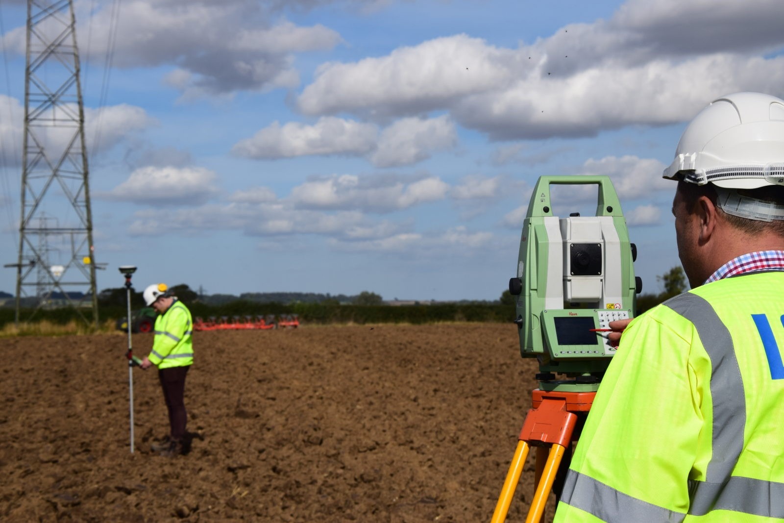
Our Topographic Survey services provide detailed, accurate, and precise mapping of land features for various projects. Whether you're planning a construction project, landscaping, or infrastructure development, our expert team ensures you have the reliable data you need.
Key Features of Our Service:
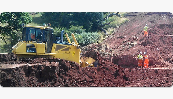
- Comprehensive Land Mapping: Capturing natural and man-made features, including contours, elevations, and physical structures.
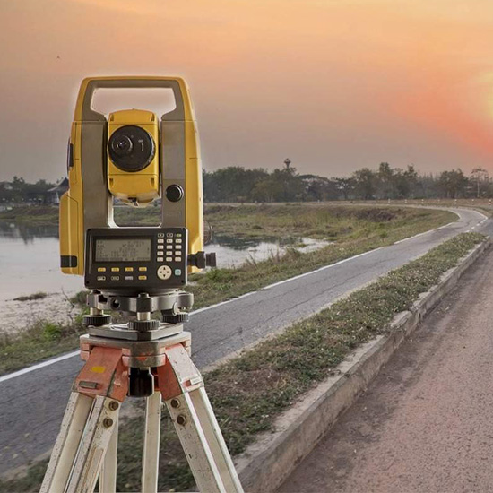
- Advanced Technology: Utilizing state-of-the-art GPS and total station equipment for precision.
- Tailored Solutions: Custom surveys designed to meet the specific requirements of architects, engineers, and developers.
- Compliance and Standards: Ensuring all surveys adhere to UAE regulations and industry best practices.
- Rapid Turnaround Time: Delivering timely and accurate results to keep your project on schedule.
Why Choose Us?
With years of experience in the UAE's diverse terrain, our topographic surveys provide the foundation for successful project planning and execution. Trust us to deliver unmatched accuracy, professional service, and insights you can build upon.