How UAV Drone Surveys Are Revolutionizing
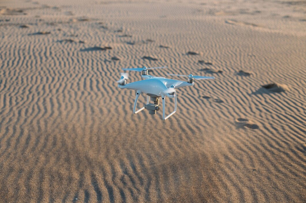
The use of UAV drones in land surveying has revolutionized the construction and land development industries. UAV technology allows surveyors to capture high-resolution imagery and detailed 3D data in a fraction of the time it would take with traditional surveying methods. These drones are equipped with powerful cameras, LiDAR sensors, and GPS technology, enabling them to gather precise topographical data even from hard-to-reach areas. Whether it’s a large construction site, a remote area, or a complex terrain, drones make surveying easier, faster, and more accurate.
One of the key advantages of UAV drone surveys is their efficiency. Traditionally, land surveys required manual measurement, which was time-consuming and labor-intensive. With drones, surveyors can cover large areas quickly and access difficult-to-reach or hazardous locations without the need for scaffolding, ladders, or other equipment. Drones can fly at various altitudes, allowing them to capture both wide views and intricate details, making them an ideal tool for topographic surveys, site inspections, and volumetric calculations.
Moreover, UAV drone surveys enhance data accuracy and reduce human error. Drones can collect data in real-time, providing up-to-date information for ongoing projects. The data gathered can be used to generate 3D models, orthophoto maps, and digital elevation models that help engineers and architects make informed decisions during the planning phase. In the UAE and GCC, where construction is rapidly expanding, UAV drone surveys are becoming an essential part of the surveying toolkit, offering an efficient, cost-effective, and precise solution for land development projects.
